OPENGATE Project
Opening Pathways to Employment through Nontraditional Geospatial Applications in Technical Education, or OPENGATE, is funded through the National Science Foundation as a collaboration between five partner institutions in the University of Arkansas system. The goal of the three-year project is to increase access to education in location-based technologies to prepare students for employment in a wide variety of industries.
Traditionally, the primary job market for professionals with strong geospatial backgrounds has been limited to large urban areas, but surveys among regional employers in Arkansas have shown an interest in increasing the number of employees with knowledge of location-based services in addition to their industry-specific expertise. The integration of these additional skills will help to increase the efficiency, competitiveness, and sustainability of businesses and government in the rural heartland.
OPENGATE offers professional development seminars for K-12 educators, develops geospatial content for community college curriculum, and integrates industry and education through the annual Partnership Conference in Little Rock, AR.
This material is based upon work supported by the National Science Foundation under Grant No. 1601552. Any opinions, findings, and conclusions or recommendations expressed in this material are those of the author(s) and do not necessarily reflect the views of the National Science Foundation.
OPENGATE Project
Upcoming (0)
Past (1)
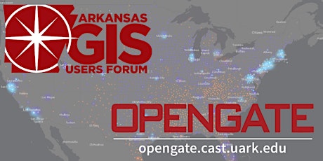
AR GIS Users Forum & OPENGATE Outreach Partnership Conference
Fri, Nov 2 • 9:00 AM
Free
AR GIS Users Forum & OPENGATE Outreach Partnership Conference
Fri, Nov 2 • 9:00 AM
Free
Events
AR GIS Users Forum & OPENGATE Outreach Partnership Conference
Fri, Nov 2 • 9:00 AM
Free
AR GIS Users Forum & OPENGATE Outreach Partnership Conference
Fri, Nov 2 • 9:00 AM
Free